Las Vegas, Nevada – January & February 2026
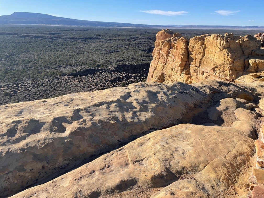
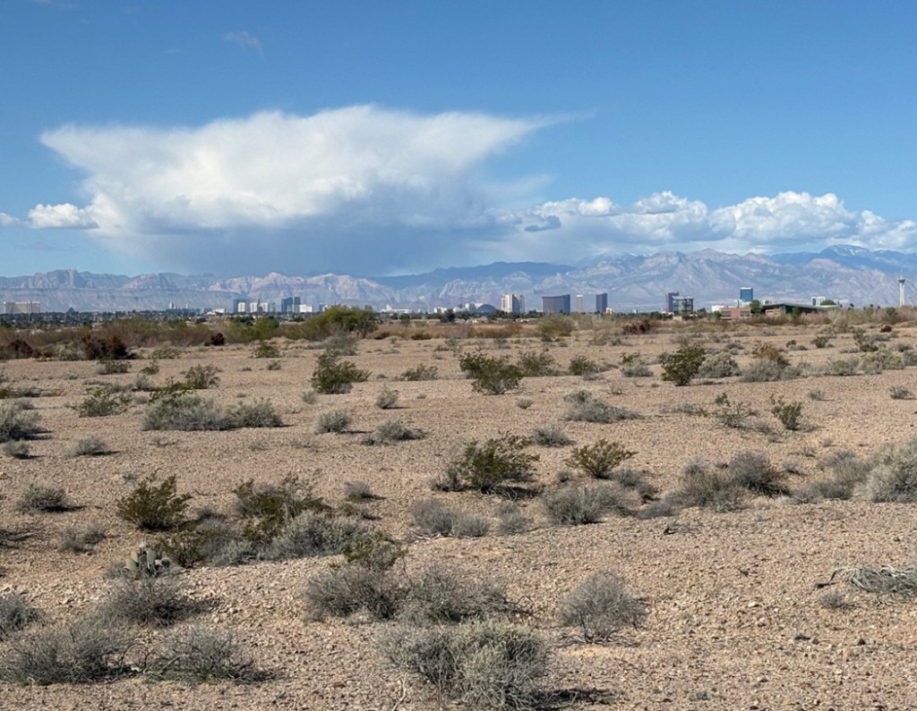
We’ve just made our retreat from winter quarters in Las Vegas, Nevada, and now, in the first week of March 2026, find ourselves in Kingman, Arizona – just 100 miles down the road. I’ve written before about the many reasons we spend the winter months in Las Vegas, but it mostly comes down to these two:
- The warmer temperatures of the Mohave Desert make the winter months both more comfortable and more practical. Cold-weather campers who stay in truck campers, travel trailers, and fifth-wheels like The Goddard know that it’s a pain – a necessary one, but still a pain – to disconnect water supplies from your RV if the temperature drops much below freezing. It’s critical to keep your water hoses, valves, and other equipment from breaking because of the frozen-water expansion. In three years totaling more than 12 months in Las Vegas, we had to disconnect from the water supply five times, and at least two of those were out of an abundance of caution.
- If you run out of things to do in the literal Entertainment Capital of the World, that’s kind of on you.
There are other reasons, too, of course: frequent departures and arrivals from and to Harry Reid International Airport, through which 58.5 million people passed in 2024, allows for plenty of flights to see friends and family, there are restaurants featuring pretty much any kind of cuisine in the world, and (maybe this should be in the bullet list above) there are birding opportunities a-plenty.
Nancy and I had been to Las Vegas many times prior to selling our home in Denver and becoming full-time RVers, but our experiences in the city were pretty much limited to flying in to the airport, being transported to a hotel/casino, being entertained, and then being transported back to the airport so we could return to Denver. Having the opportunity to effectively live in Las Vegas for a quarter of the year gives us a much different perspective: people actually live, work, and raise families there – did you know that? Buying groceries, having your vehicle’s tires rotated, going to a park to escape the city noise: all of the things that people do every day in other cities are done by Las Vegans every day.
Maybe it’s not such a revelation to you, but, as someone who previously didn’t think about what people who actually live in Las Vegas do (you can’t make a living playing cards and going to shows, or at least not consistently), it certainly was to me.
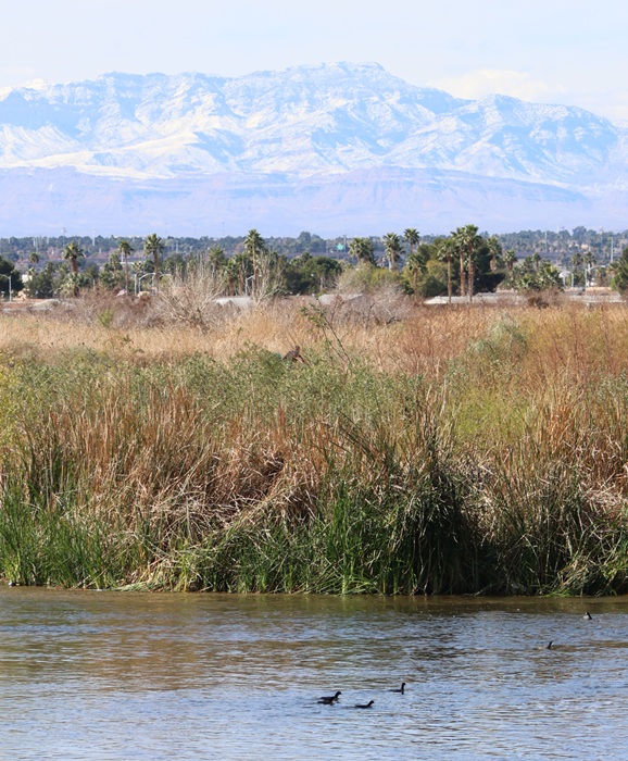
Two of the places that we spend a lot of time while in Las Vegas are also home, or at least serve as a temporary stopover, to a number of different birds. I’ve written before about both Clark County Wetlands Park and the Springs Preserve, and they were once again sites to which we returned in the winter of 2025-2026.
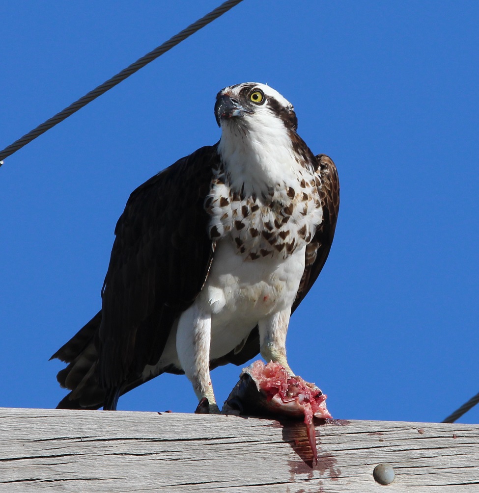
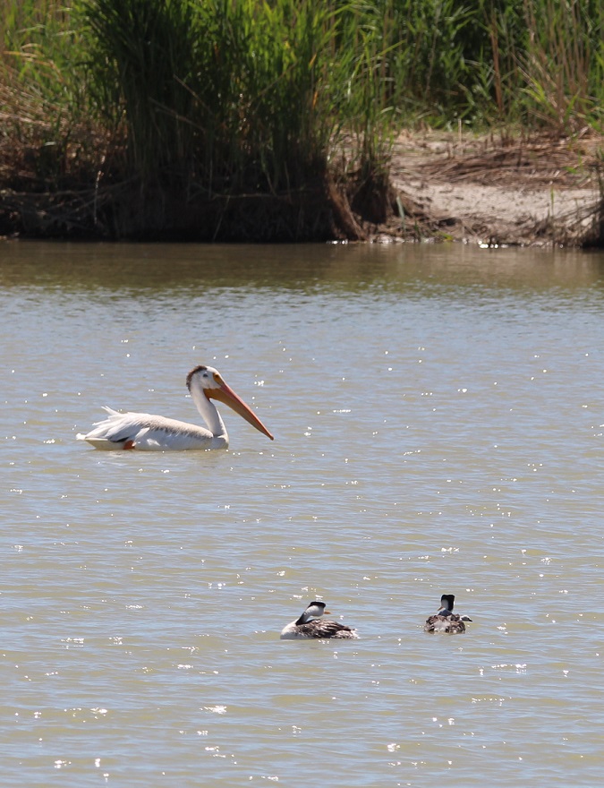
I probably took about 500 pictures of birds over the winter (I’m not exaggerating), and here, in alphabetical common-name order, are 10 species that I really enjoyed watching (I enjoyed watching all of them and I didn’t get pictures of some that I really, really enjoyed watching, like an osprey hurtling into a stream in pursuit of a fish, or an American white pelican gliding over the desert).
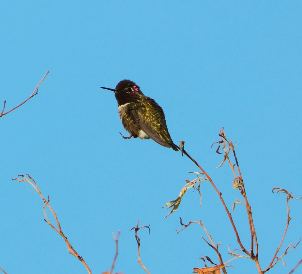
Anna’s hummingbird
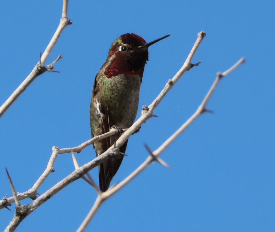
We’ve stayed at the same campground in the Las Vegas area the last three winters, and there’s a dog run there with a nearby tree that usually has an Anna’s hummingbird (not the one pictured, unless it decided to fly 11 miles to this different tree) perched at its top in the mornings. Seeing that little guy is always a great way to start the day.
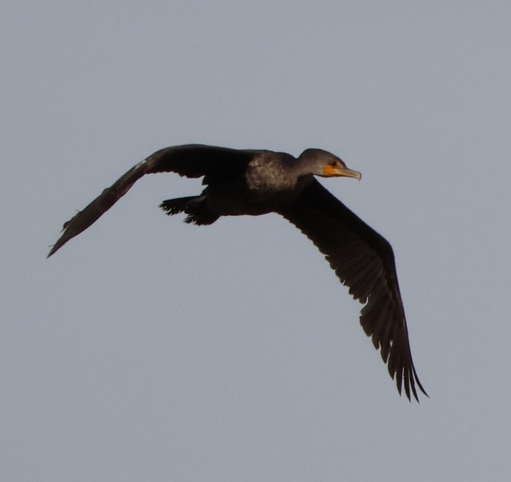
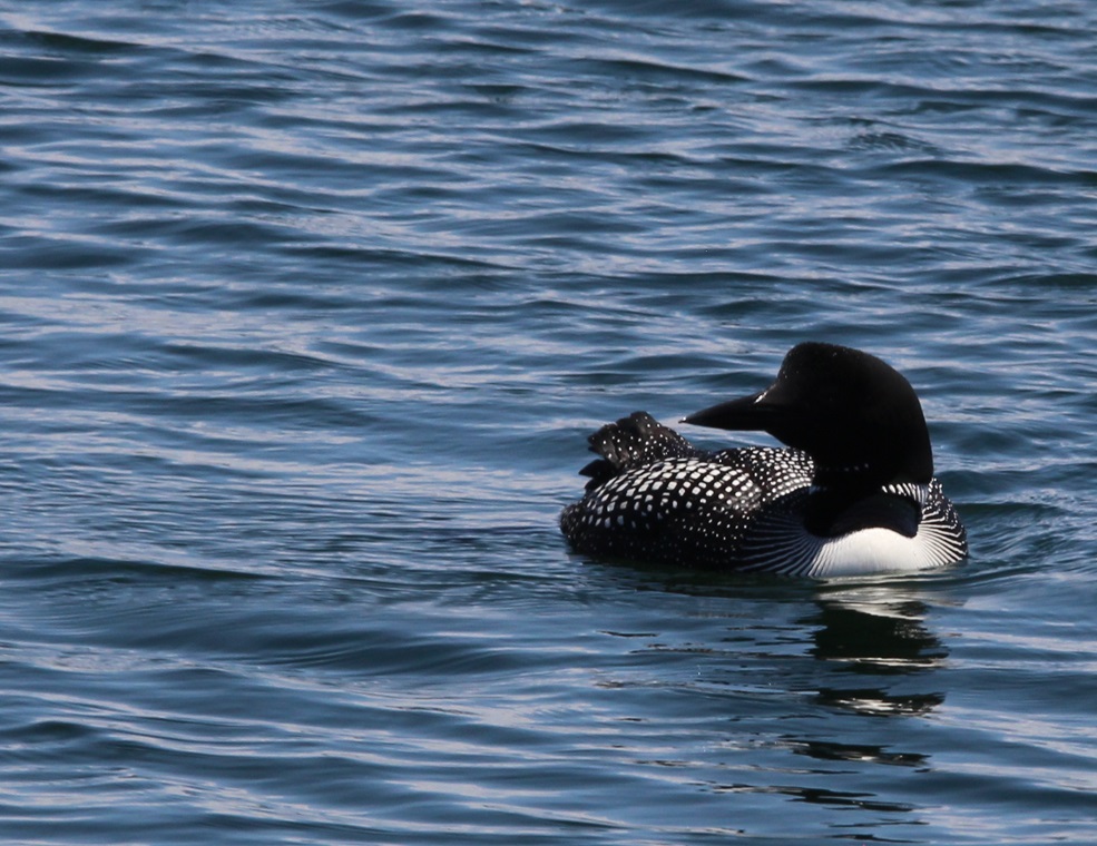
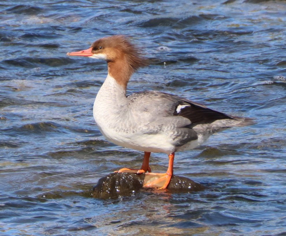
Common merganser
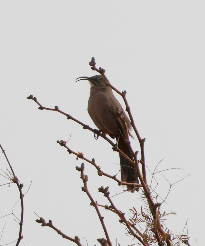
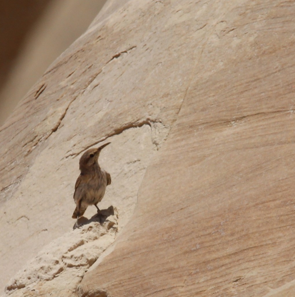
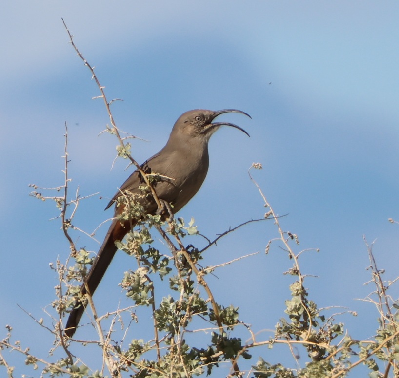
Crissal thrasher
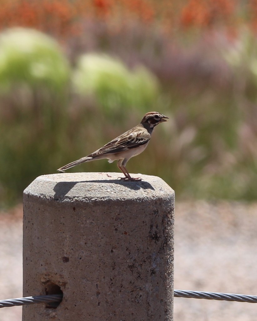
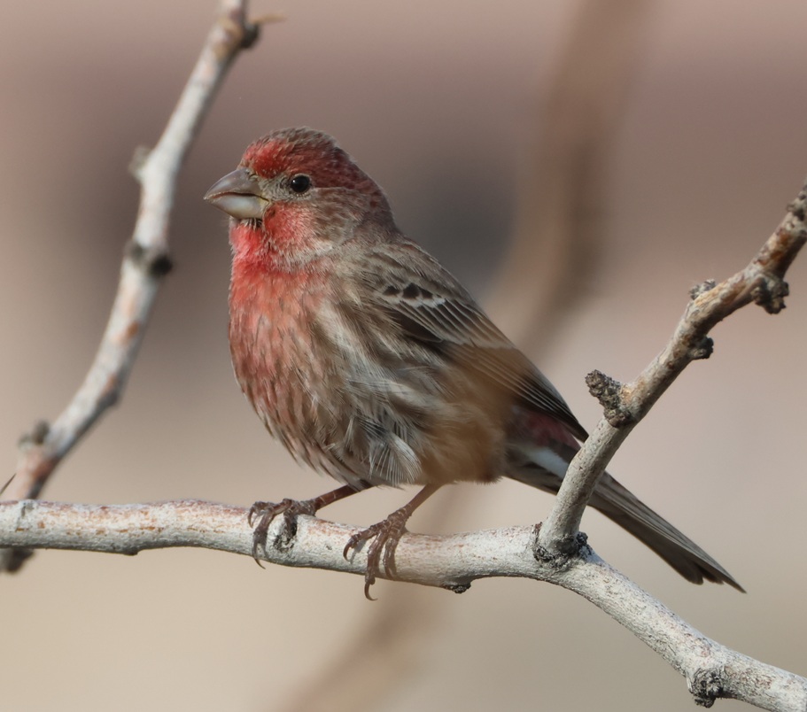
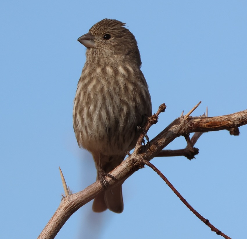
House finch
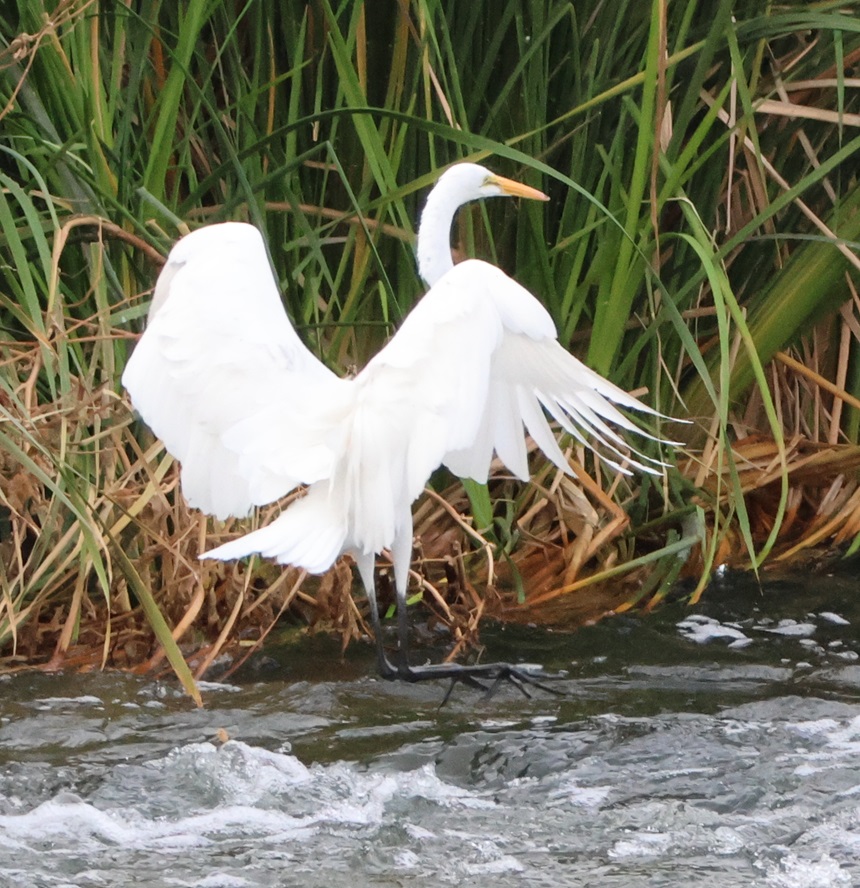
Great blue heron
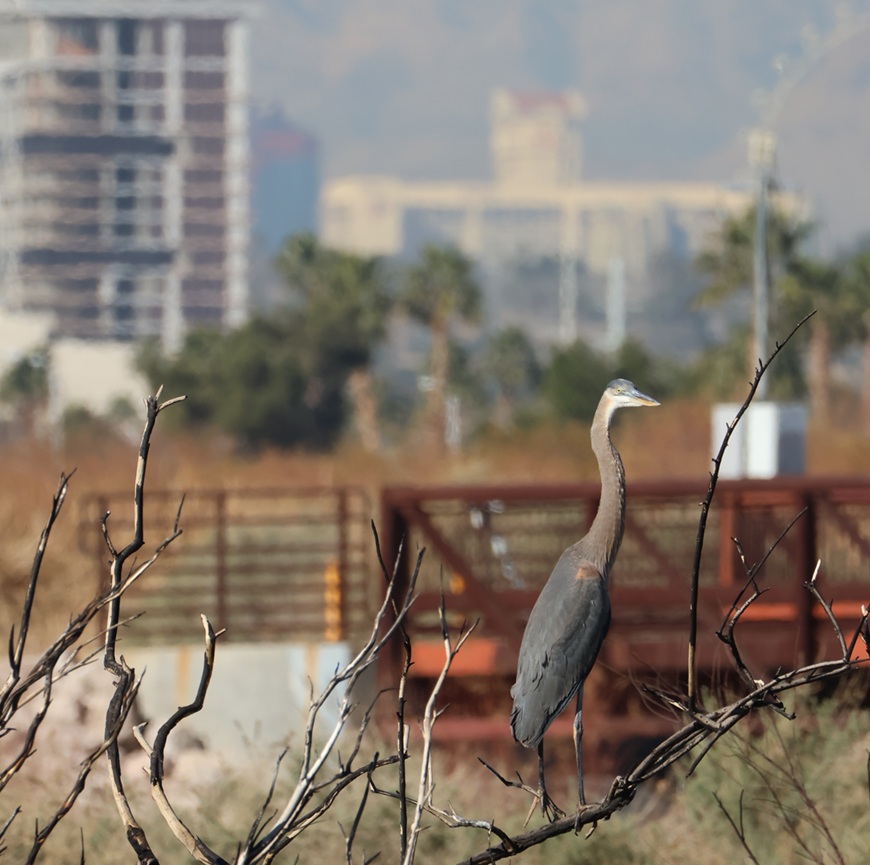
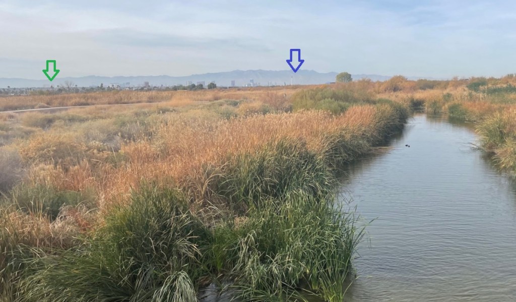
Some incidental notes about this photo: the brown railed structure in the background is part of the bridge that crosses the Las Vegas Wash. Most of the photos of ducks and other waterbirds in the river were taken from that bridge. The Las Vegas Wash (“wash” in the American Southwest refers to a usually intermittent riverbed) runs from the city all the way to Lake Mead about 30 miles downstream, transporting treated wastewater and runoff along the way. The water from Lake Mead finds its way back to Las Vegas via pumping stations and other infrastructure to be used again. At the top left corner is the Eastside Cannery, a 16-story hotel and casino at Boulder Highway and Nellis Boulevard, just south of the campground where we spend the winters. The 307-room property was built at a cost of $250 million and completed in 2008. The property was purchased by Boyd Gaming (owner and operator of many gaming properties around Las Vegas and the United States) in 2016. The Eastside Cannery casino and hotel closed due to COVID-19 in March 2020 and never reopened; it is set to be imploded two days from this writing (that is, on March 5, 2026).
And so it goes.
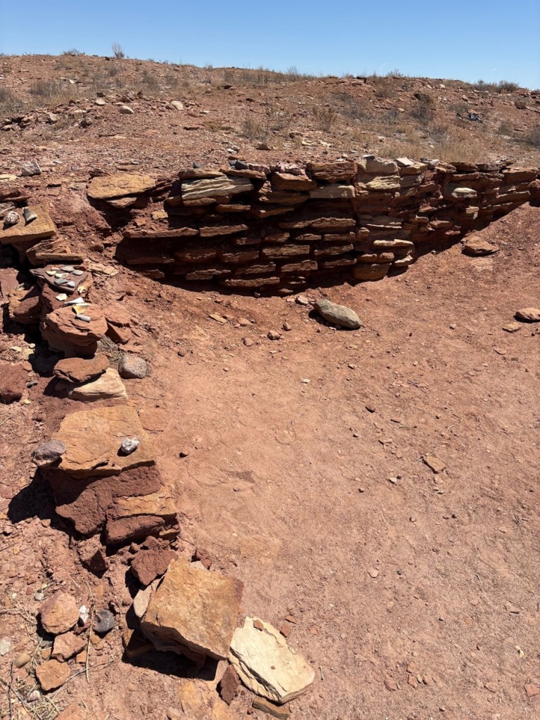
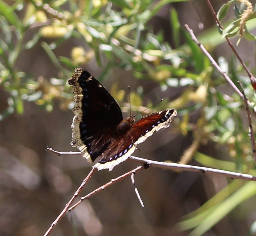
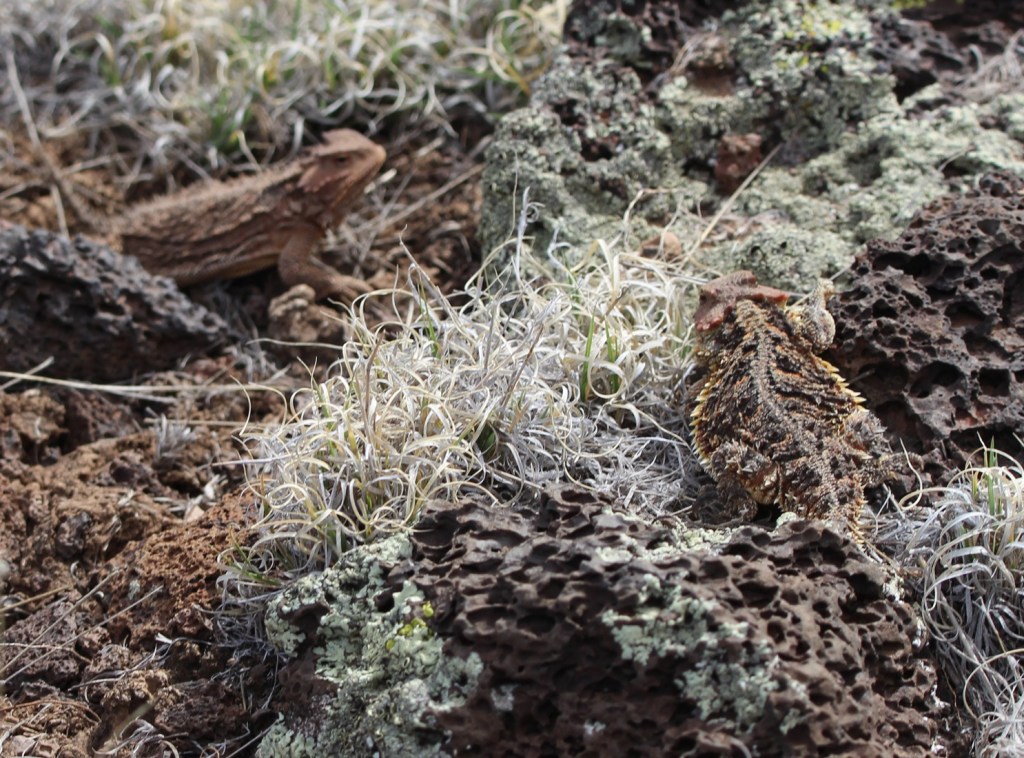
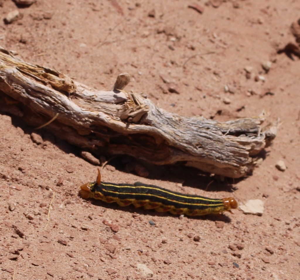
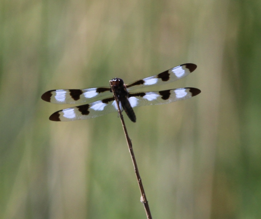
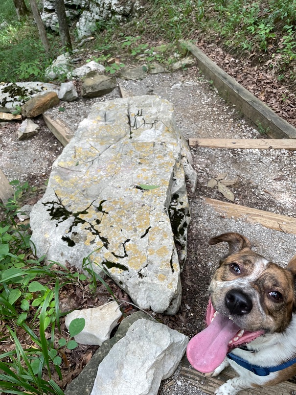
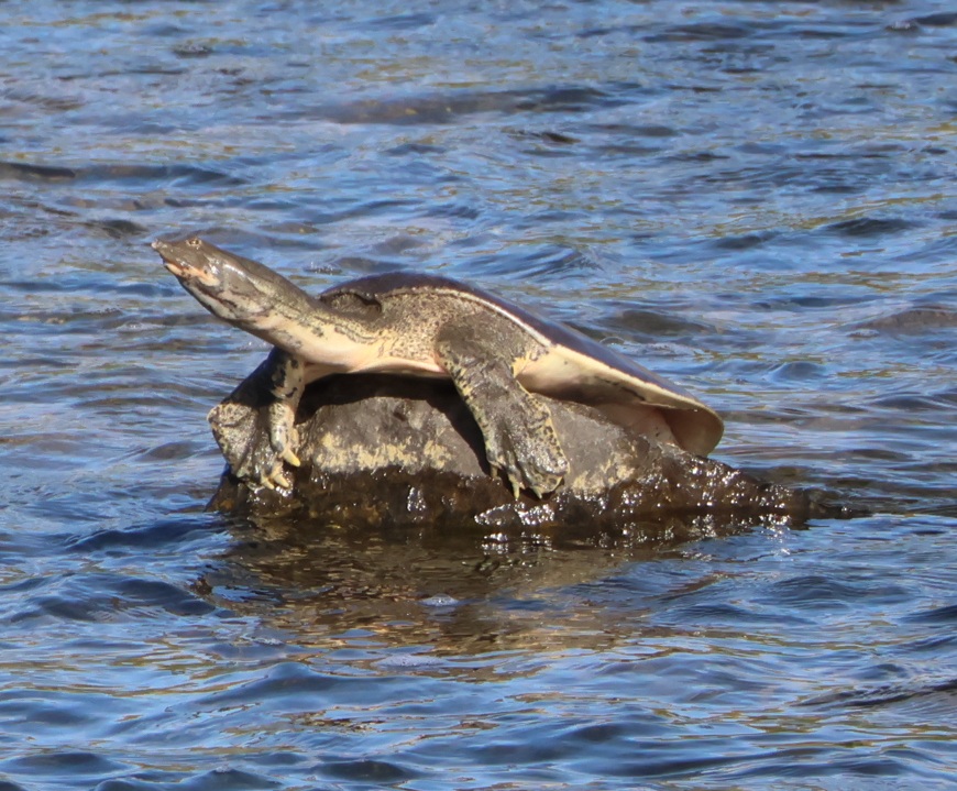
Not a bird
And so it still goes.
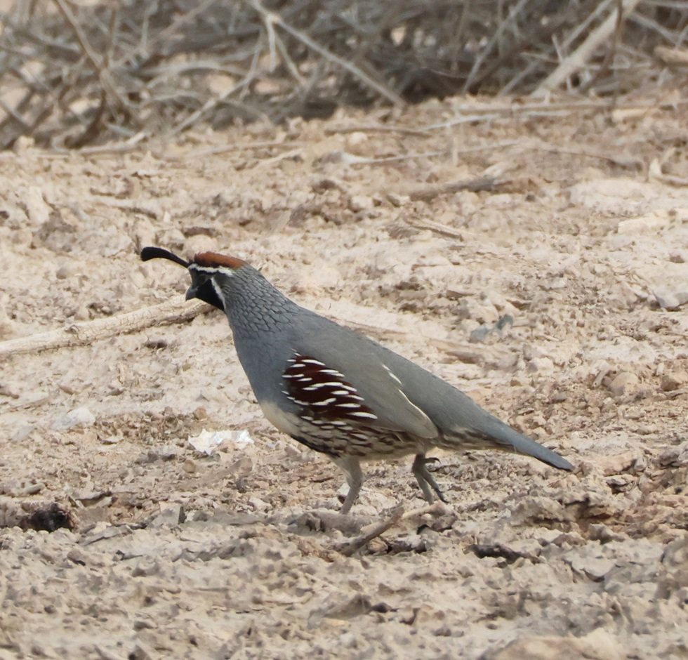
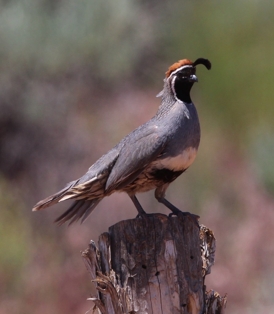
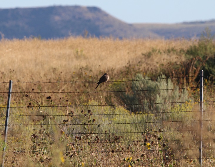
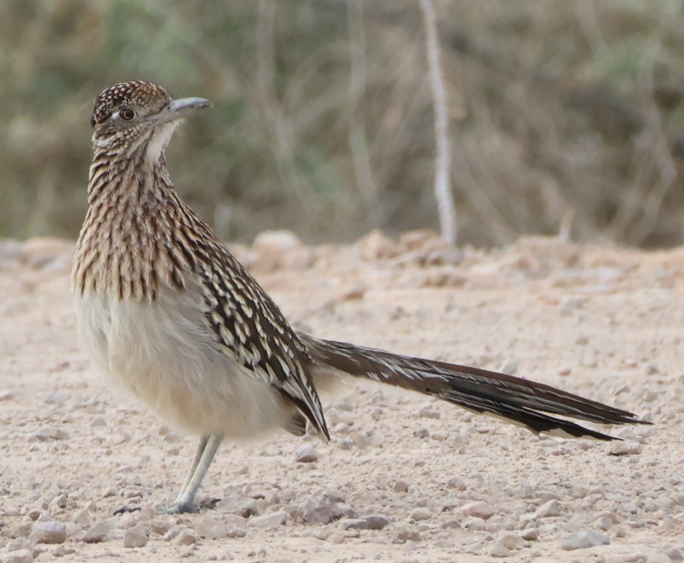
Greater roadrunner
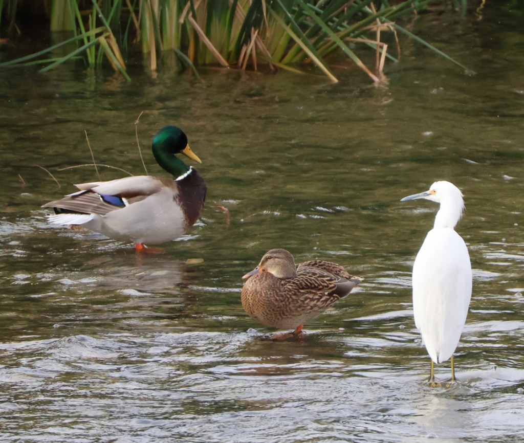
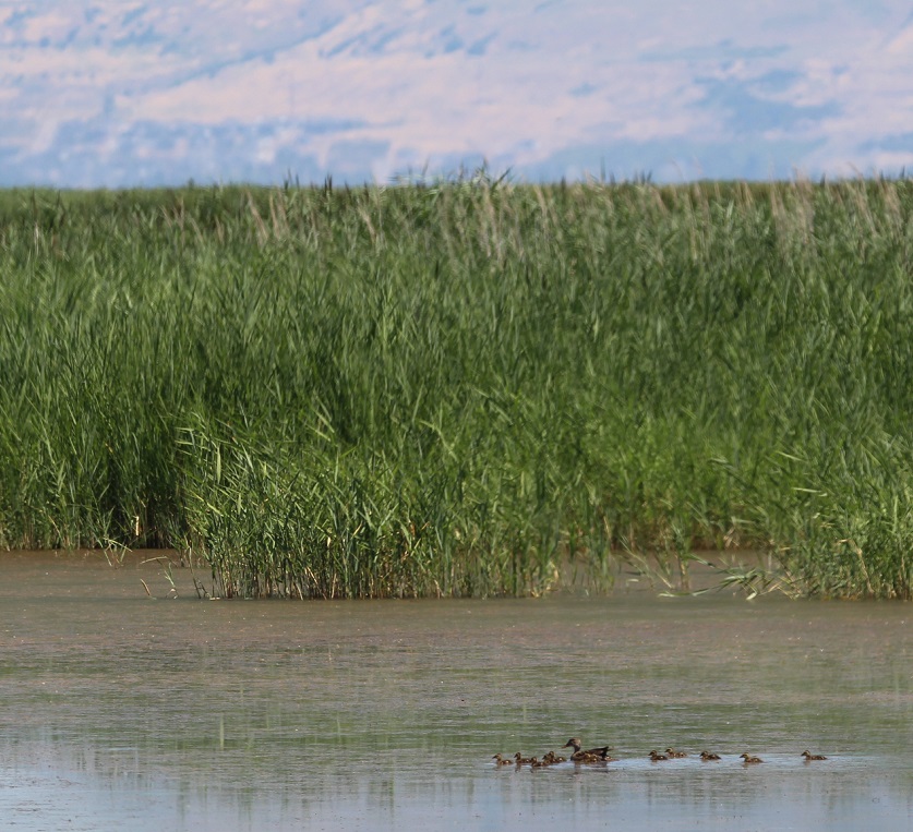
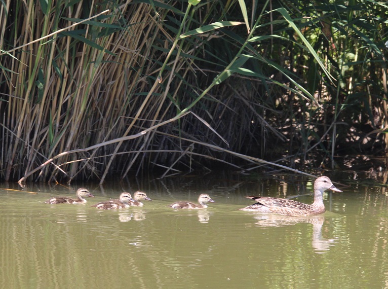
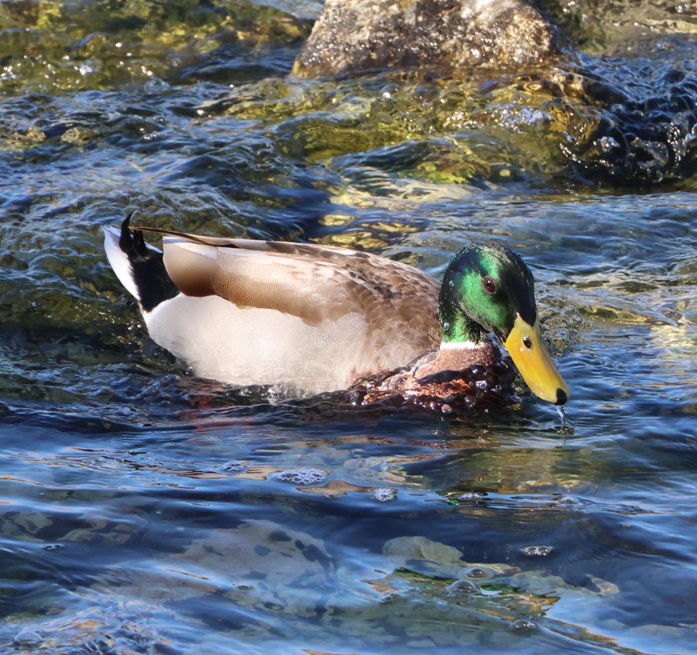
Mallard
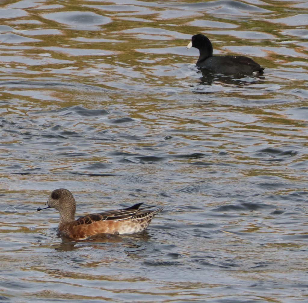
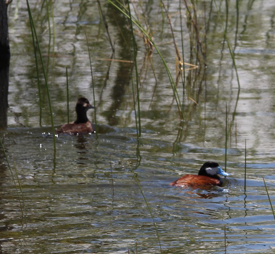
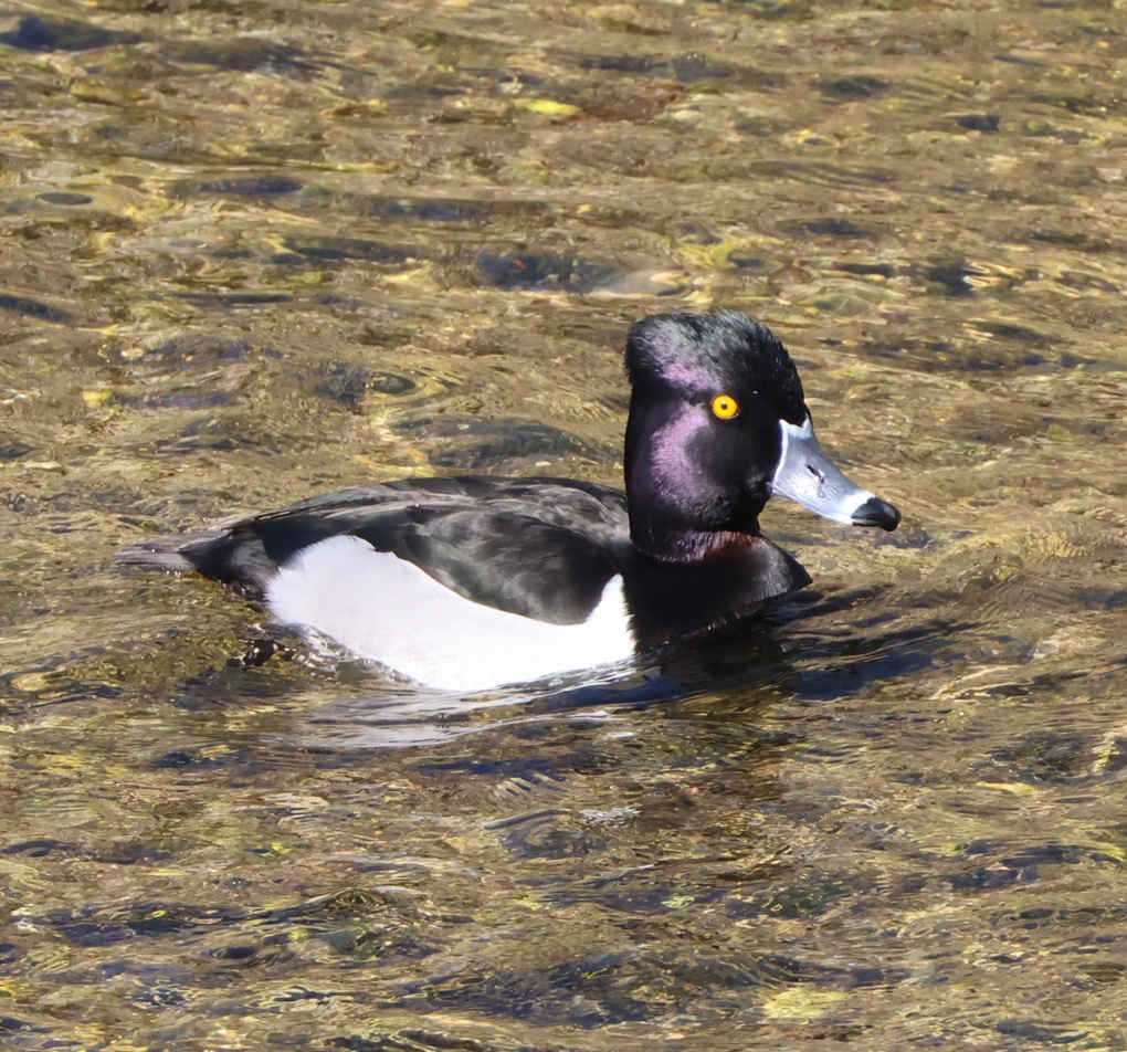
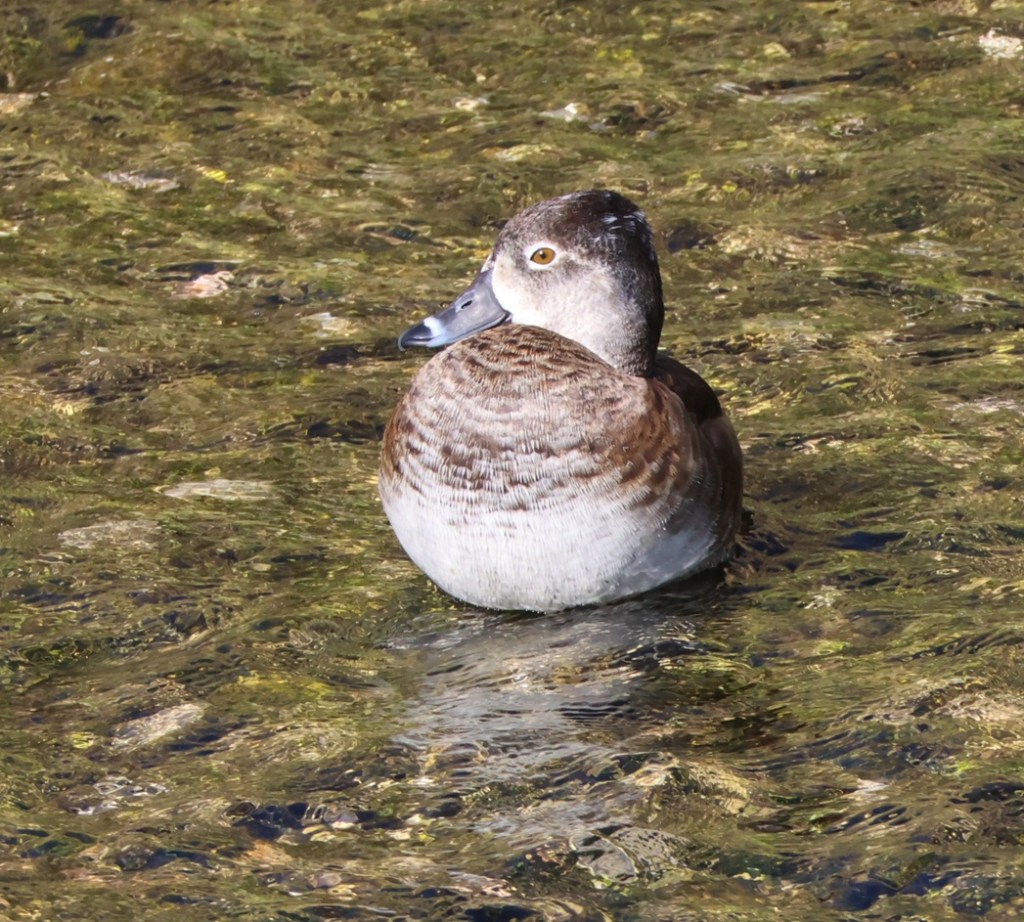
Ring-necked duck
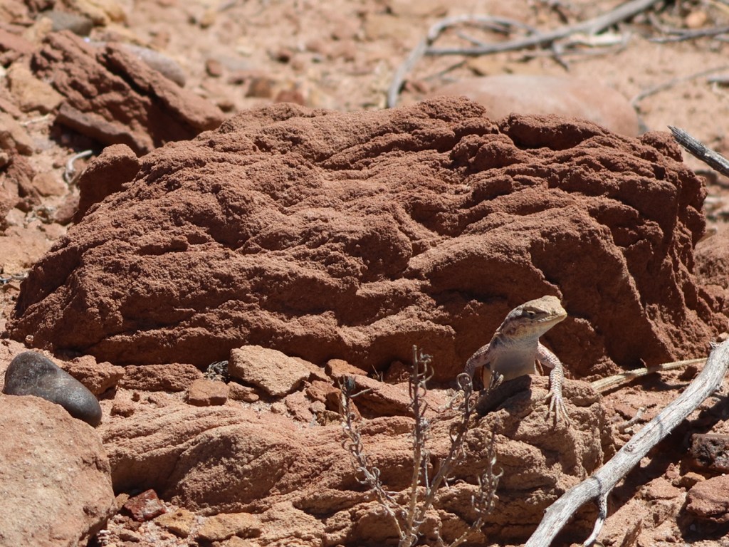
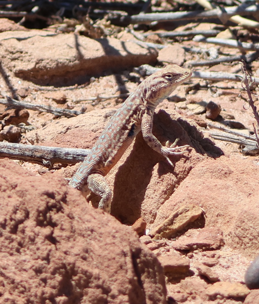
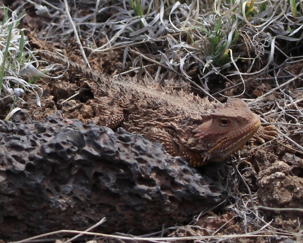
Not a bird, again
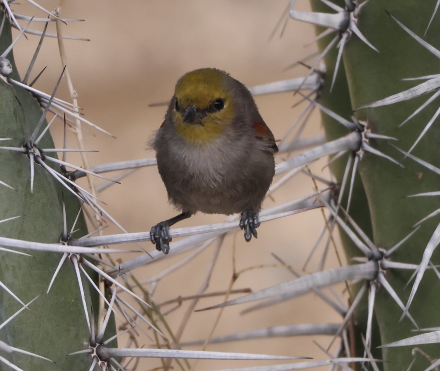
Verdin
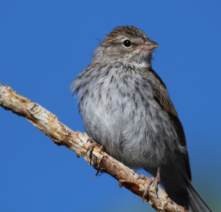
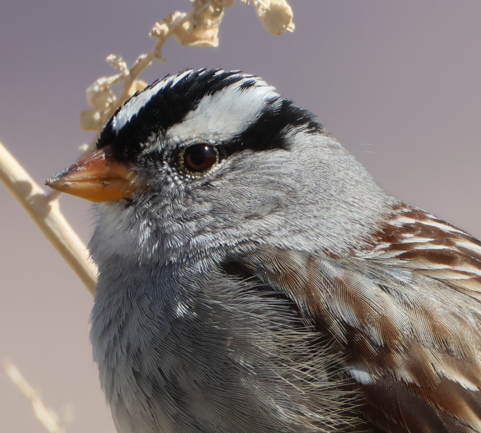
White-crowned sparrow
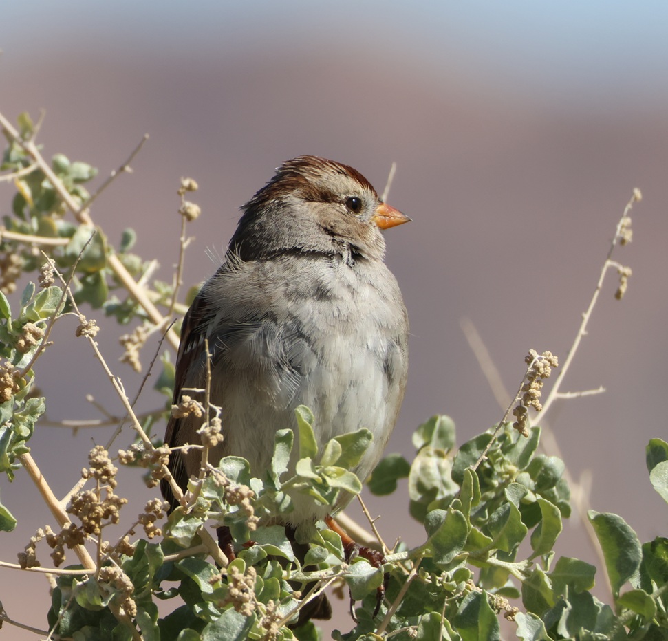
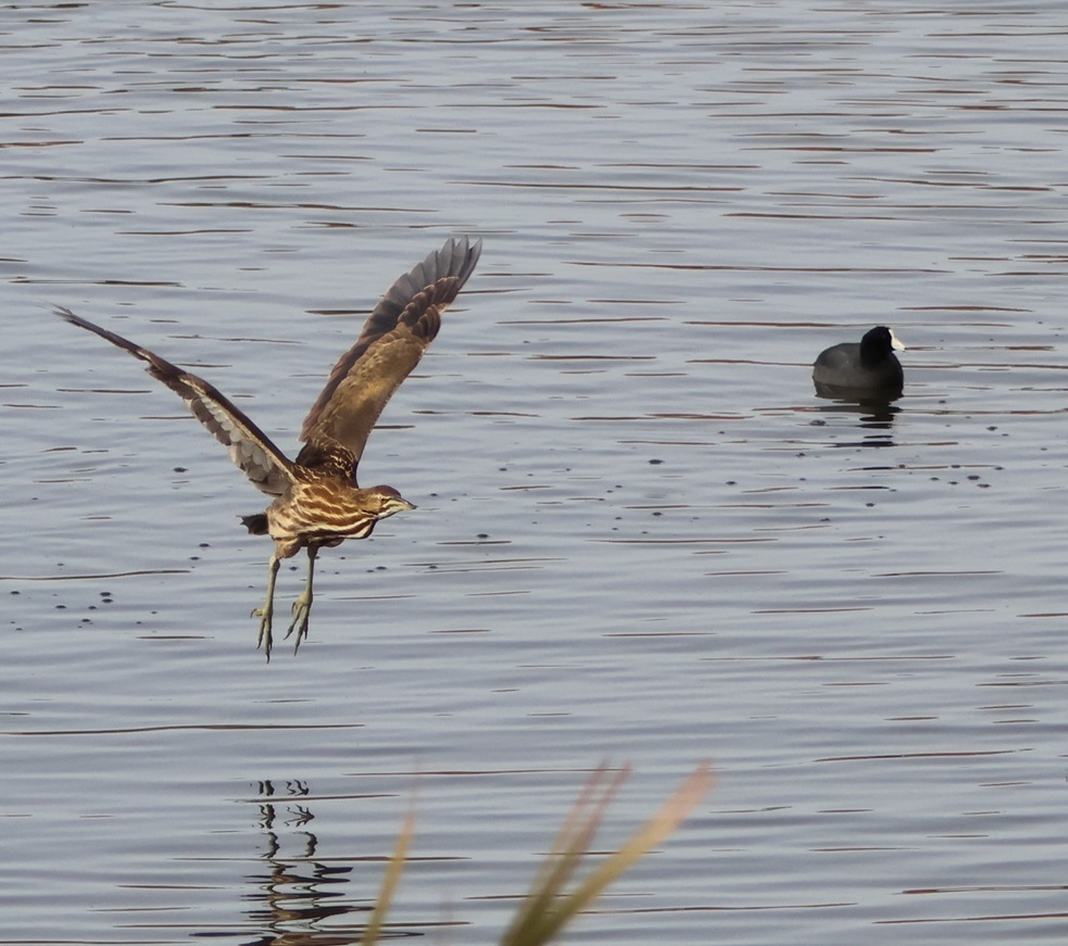
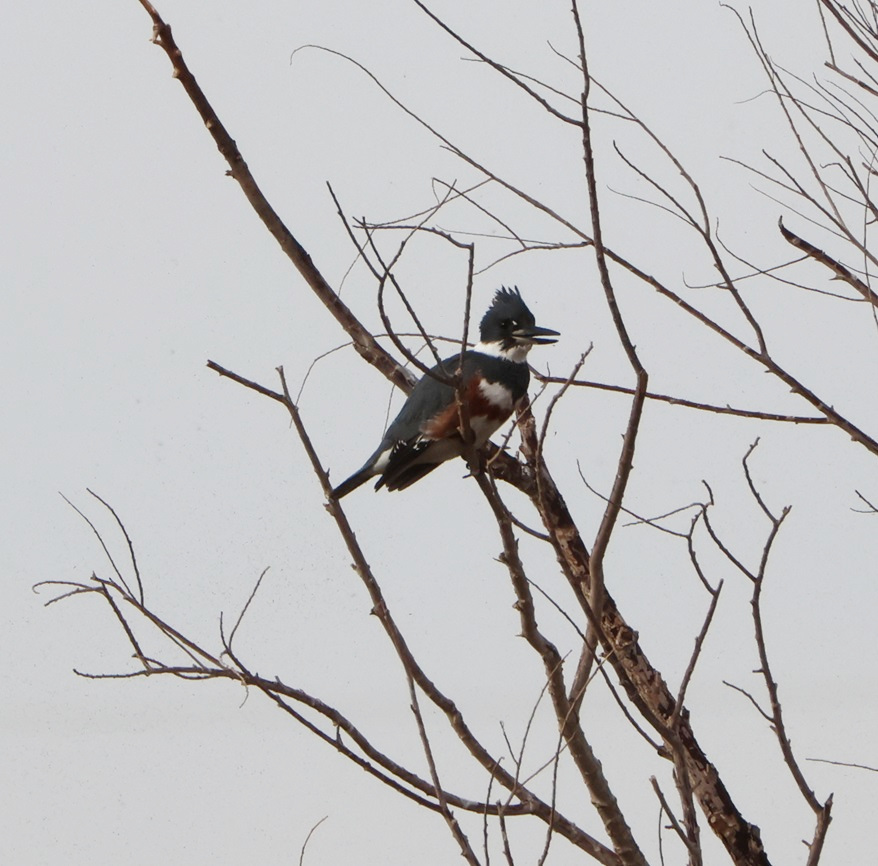
One of the things that really appeals to be about birdwatching is being able to see the similarities and differences between species: the coloration (some species have wildly different color patterns between males and females, for instance); the differences in size and shape of beaks/bills, wings, and tails; even noting that in some species, like ring-necked ducks, the drakes have bright yellow eyes and the hens have beautiful brown eyes. All of the birds in this posting were photographed within no more than 15 miles of each other: the riparian habitat at Clark County Wetlands Park brings a lot of birds to Las Vegas that wouldn’t normally stop there, and there’s great diversity even between the native desert birds like crissal thrashers and hummingbirds.
I keep a list, beginning on Jan. 1 of each year, to keep track of how many different bird species I see during that year. My goal is always 100 different species, and I’ve never met it (I got to 94 in 2023, 62 in 2024, and 96 in 2025). In the first two months of 2026, I’ve recorded 36 different species, all of which were observed in either Clark County Wetlands Park or the Springs Preserve in Las Vegas. With a 3,000-mile trip scheduled through the American Southwest, Midwest, and Upper Midwest, along with a 3,000-mile trip back to Las Vegas in the fall, I’m feeling pretty good about my chances of meeting my goal of 100 observed bird species this year. I hope my little Anna’s hummingbird pal is back on top of his tree next to the dog run when we return to Las Vegas in December.
Bird species observed in the Las Vegas, Nevada, area in January and February 2026
| Anna’s hummingbird | Common merganser | Say’s phoebe |
| Rock dove | Ring-necked duck | Phainopepla |
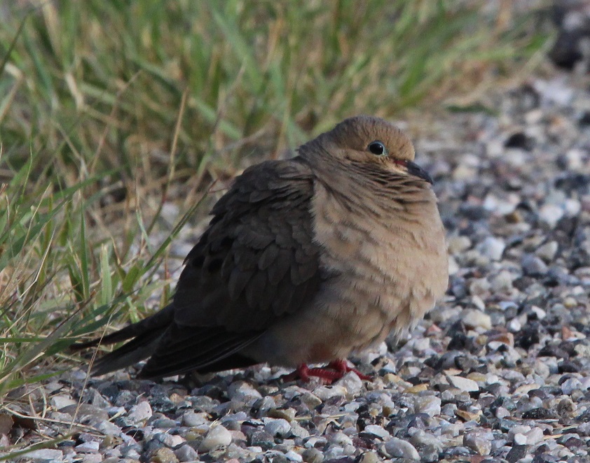
| Northern flicker | Mourning dove | Common goldeneye |
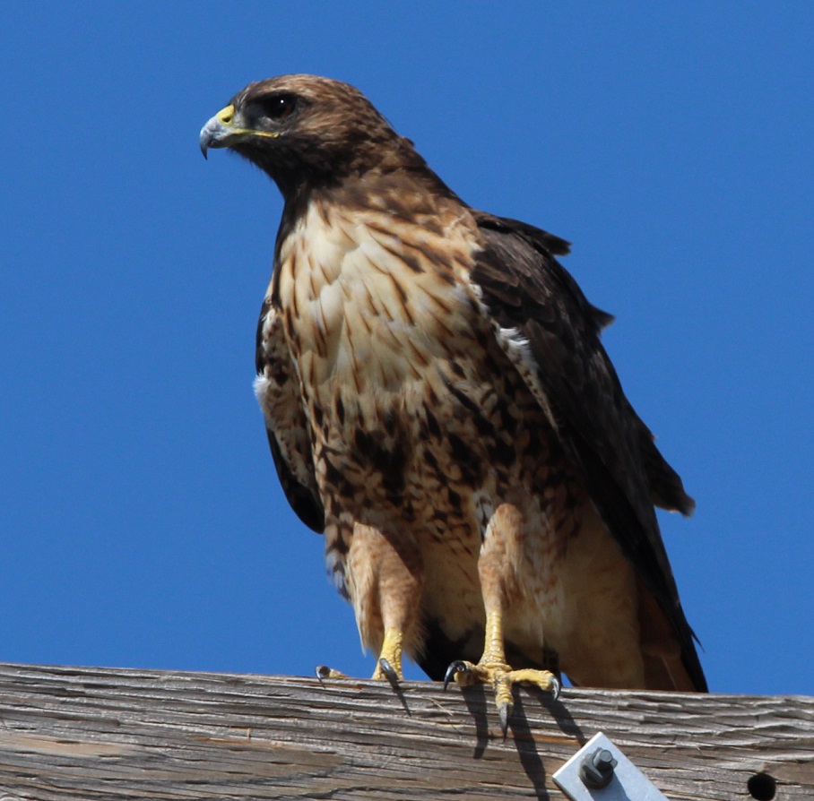
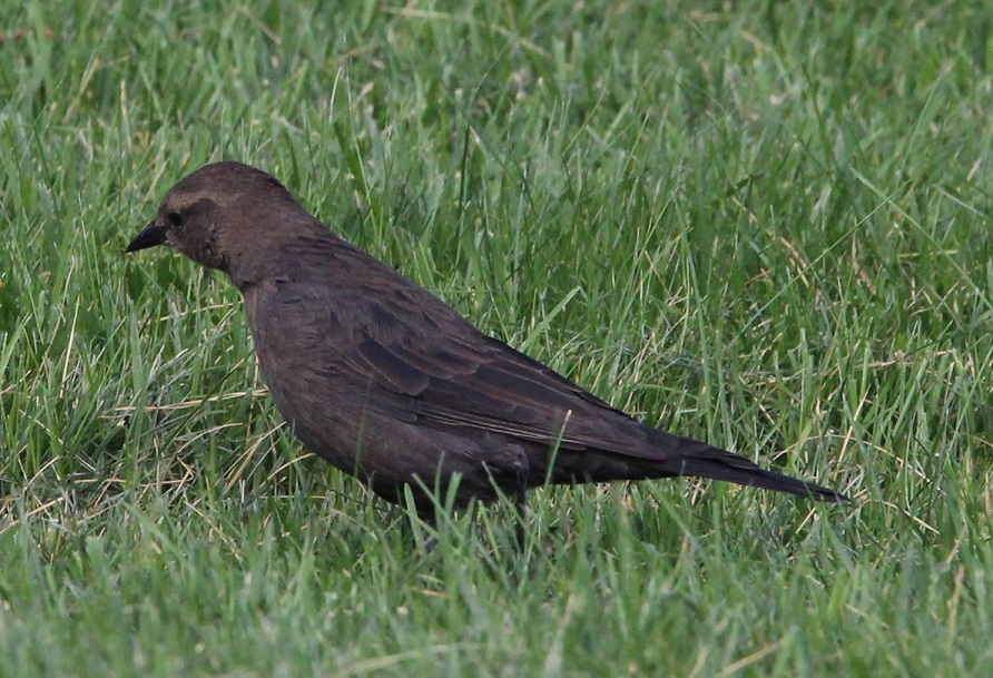
| Great-tailed grackle | Great blue heron | Red-shouldered hawk |
| Black phoebe | Black-crowned night heron | Red-winged blackbird |
| Northern mockingbird | Bufflehead | Crissal thrasher |
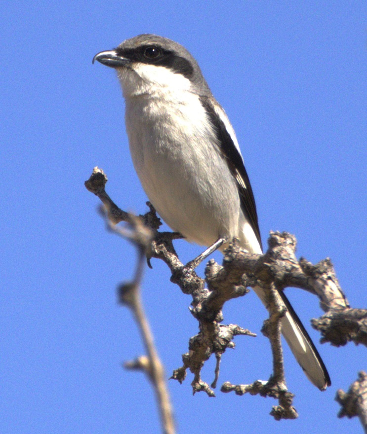
| House finch | Pied-billed grebe | Loggerhead shrike |
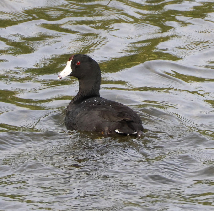
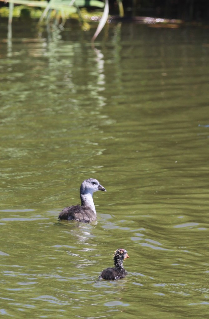
| American coot | Yellow-rumped warbler | Osprey |
| Double-crested cormorant | Spotted sandpiper | Mallard |
| White-crowned sparrow | Rufous hummingbird | American wigeon |
| Verdin | Greater roadrunner | Sagebrush sparrow |
| American white pelican | Black-tailed gnatcatcher | Ruby-crowned kinglet |