Albuquerque, New Mexico – May 9, 2026
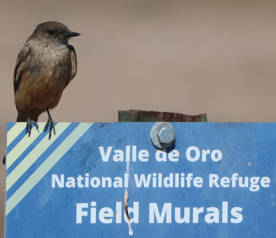
Located just seven miles south of Albuquerque, Valle de Oro National Wildlife Refuge (NWR) was established in 2014 as the first urban NWR in the American Southwest. One of nearly 600 national wildlife refuges in the United States, Valle de Oro is adjacent to Rio Grande Valley New Mexico State Park, which is next to the Rio Grande (there’s no “River” after the name because “rio grande” means “big river” in Spanish, so it’d be like writing “big river river”). Through the National Wildlife Refuge System, a number of different ecosystems, including wetlands, prairies, forests, and coastal areas, are protected from development in order to provide habitats in which wildlife and plants can thrive.
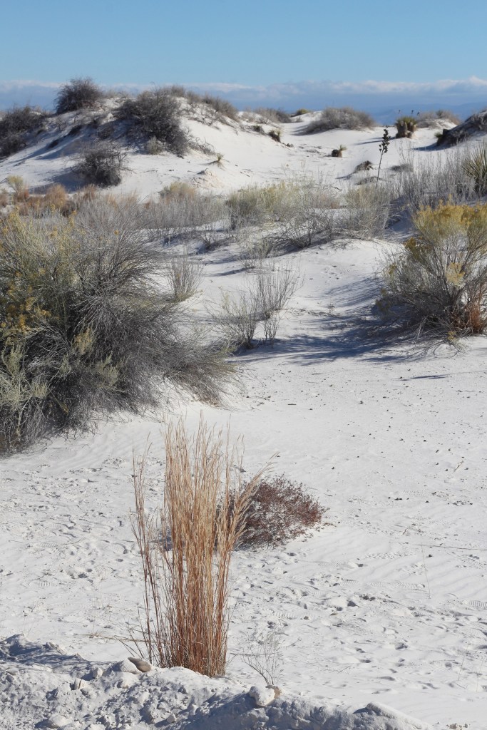
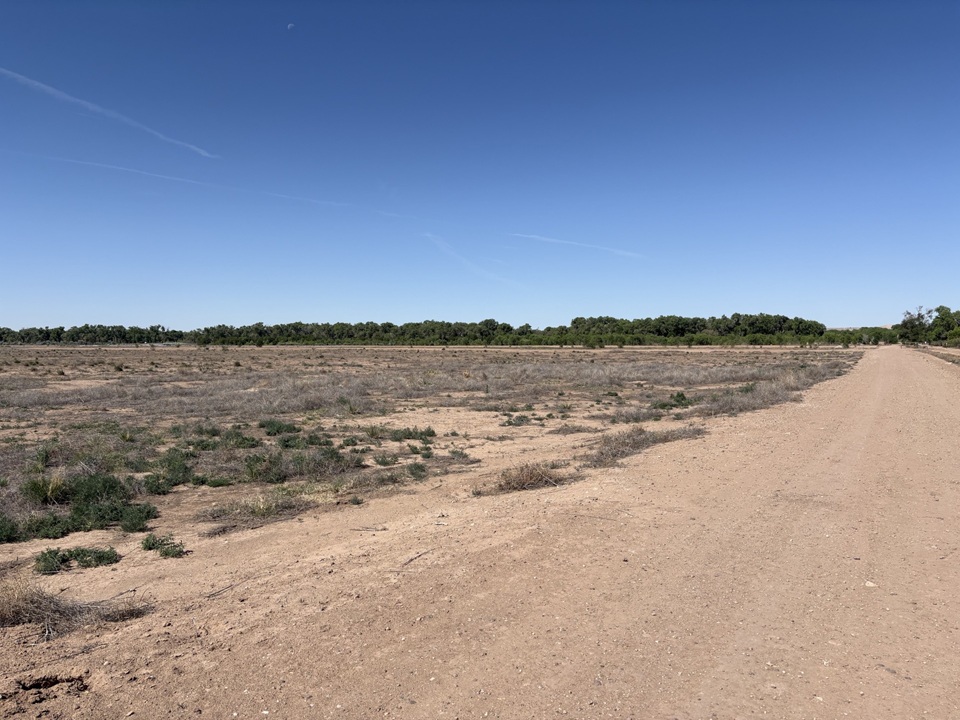
In the case of Valle de Oro NWR, the refuge isn’t protecting undisturbed habitat that’s threatened by commercial development but rather restoring natural habitat from a formerly developed state.
Because of the ongoing drought in the American Southwest, the Rio Grande can’t even realistically be called “big”; while we were in Albuquerque in May, the river was barely a trickle as it ran through the city. When not impounded and when historically normal moisture is available, the Rio Grande flows 1,896 miles from its headwaters in southwestern Colorado, through New Mexico, forms the southern border of Texas, and empties into the Gulf of Mexico. The Rio Grande is the fourth-longest river in the United States.
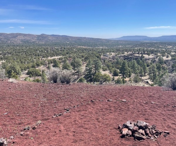
The 570-acre (just under one square mile) protected area now known as Valle de Oro NWR has a long and interesting history going back many centuries, and counts Pueblo Native Americans, Spanish conquistadors, and dairy and alfalfa farmers as those who have used its resources.
Valle de Oro NWR is among the ancestral and current lands of the Tiwa People, a Pueblo culture of Native Americans in what is now the Albuquerque area. Some of the Tiwa currently live in the Isleta and Sandia pueblos, two of New Mexico’s 19 Native American pueblos. The Pueblo culture initially developed between the years 700 and 1100, and particularly thrived between 1100 and 1300. Both Isleta and Sandia were established as pueblos in the 14th century; they were known by their Tiwa names until the Spanish arrived in the area in the late 15th century. “Isleta” and “sandia” are Spanish for “little island” and “watermelon,” respectively (more on “sandia” further down).
The Spanish established a major road, El Camino Real de Tierra Adentro (“the royal road of the interior land”), that extended 1,590 miles (2,560 km) from Mexico City to just north of Santa Fe in present-day New Mexico. The road, one of four that connected Mexico City to the resources of the vast Spanish colony in America, was used from 1598 to 1882 to transport soldiers and trade goods. Much of El Camino Real still exists in the form of state highways and county roads (it passes right by one of our favorite restaurants in Las Cruces), and, back up near Albuquerque, it forms the eastern border of what is now Valle de Oro NWR.
Time passed, and, when Mexico gained its independence from Spain in 1821, Albuquerque changed from a New Spain outpost into a Mexican city. Albuquerque and the rest of the American Southwest became part of the United States in the mid-19th century and, in the 1930s, a family with a dairy in El Paso, Texas, expanded their operations to include a tract of land near Albuquerque. The family named the dairy “Valley Gold,” which you might, and correctly, infer (roughly) translates in Spanish to “valle de oro.” Following an increased demand for milk in the southwest after World War II, Valley Gold expanded its herd to 1,600 cows, making it one of the largest privately owned dairies in the country. The U.S. Department of Agriculture records that an average dairy cow in 1950 produced 5,300 pounds of milk each year (in 2025, an average dairy cow produced 24,400 pounds of milk annually; the industry has certainly gained some efficiencies). Anyway, dairies use a lot of water, so the Valley Gold operation developed substantial irrigation infrastructure using water from the nearby Rio Grande.
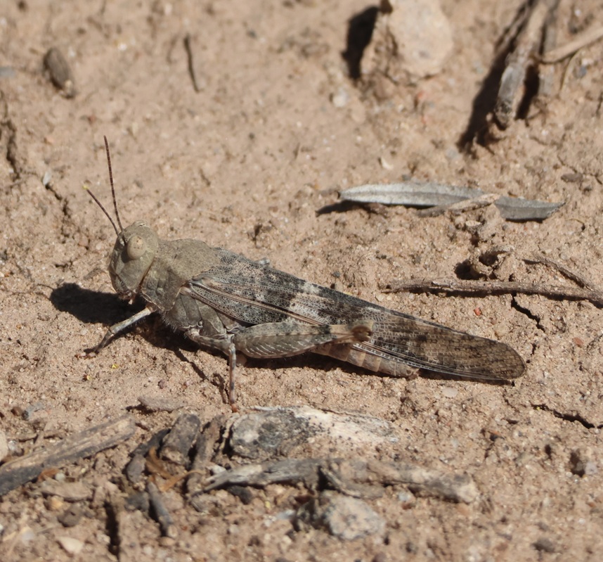
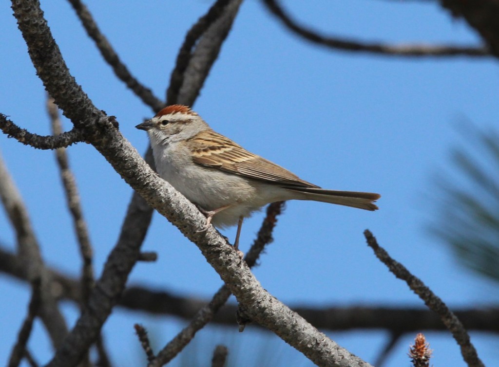
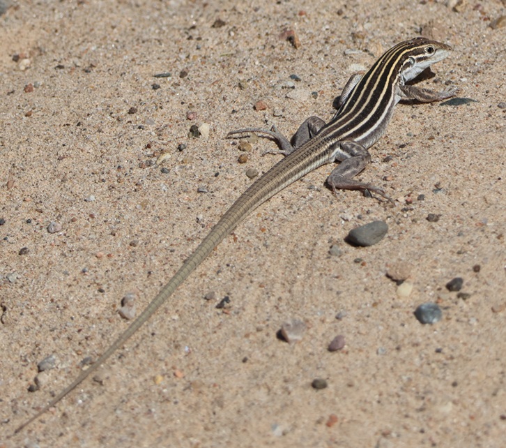
Valley Gold ceased operations in the Albuquerque area in the late 1970s, and the property operated as an alfalfa farm (which also required a lot of water) for some time until the land was put up for sale and probable commercial development. A group of residents in the area formed Friends of Valle de Oro, a nonprofit organization that raised $9 million to buy the property and then partnered with the U.S. Fish & Wildlife Service to create the southwest’s first urban national wildlife refuge. What had been home to Pima People, part of the route from Mexico City to Santa Fe, then a dairy and alfalfa farm, was now ready to welcome back dozens of species of birds, mammals, and other wildlife to an area protected from commercial development.
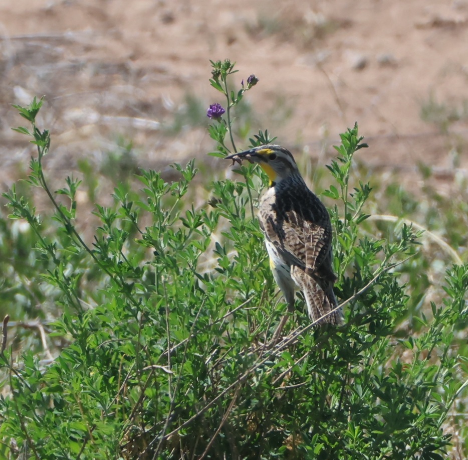
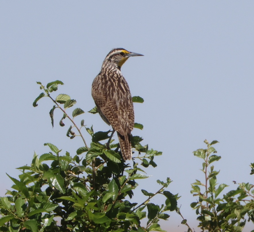
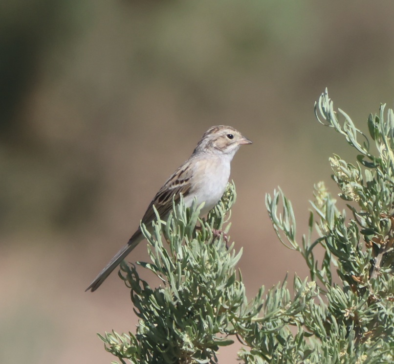
Whenever I hear that wonderful call, I’m reminded of meadowlarks that I used to listen to at the Denver-area office of one of my previous jobs. The parcel adjacent to the office was less than an acre but still unbroken prairieland, and it attracted quite a lot of wildlife including western meadowlarks. I enjoyed listening to them in the spring and summer months from the parking lot of my office, until construction began on that lot and it became another parking lot and commercial building. I remember being frustrated at the meadowlarks losing their habitat, and I also remember later realizing that the parking lot and building of my office was once wildlife habitat as well.
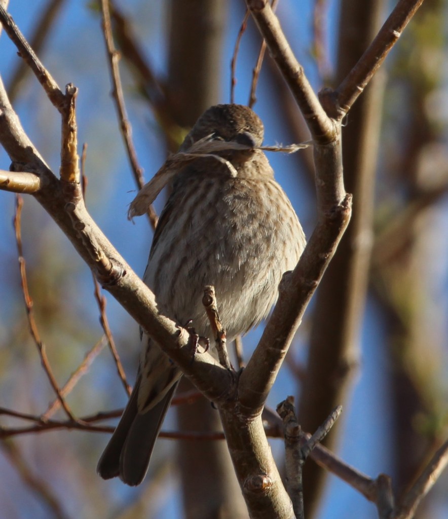
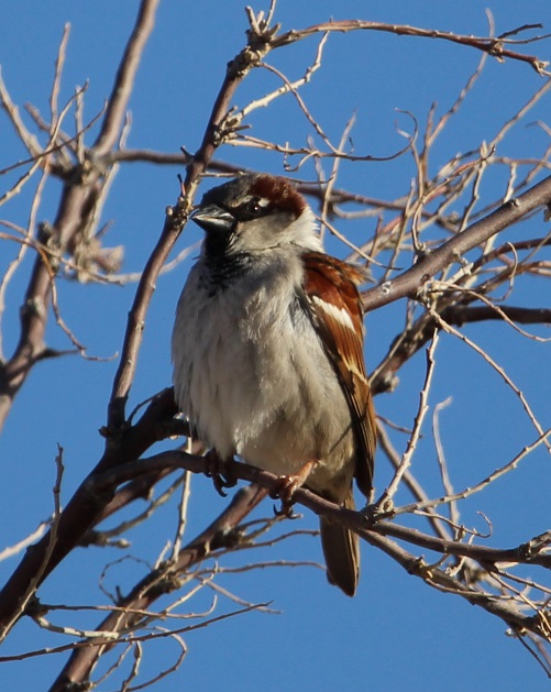
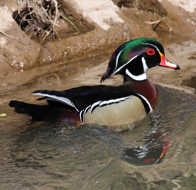
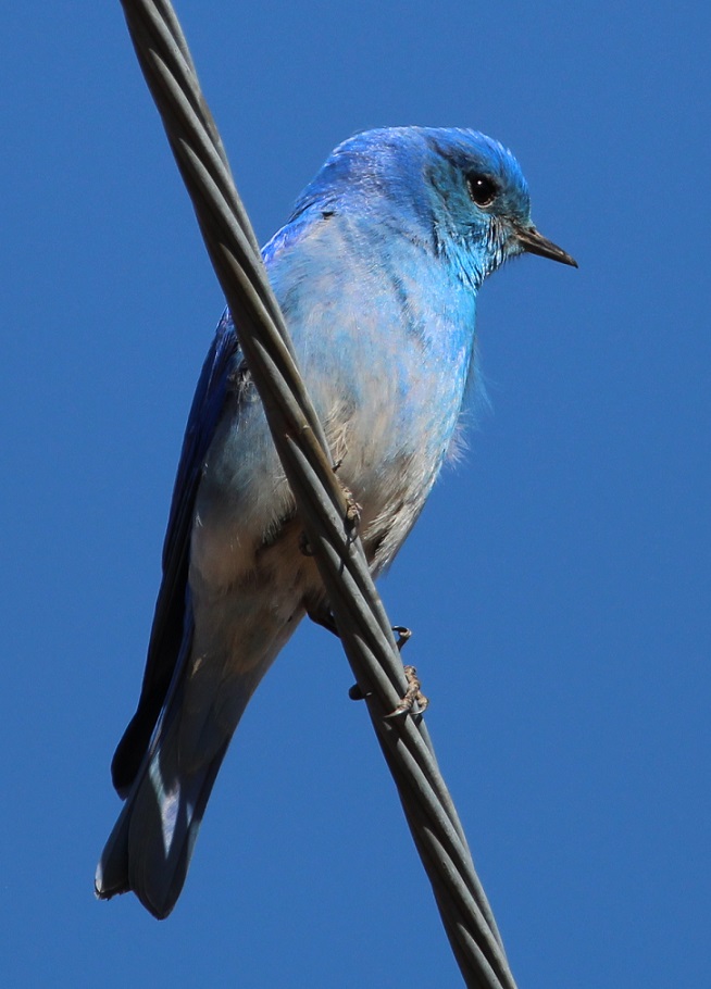
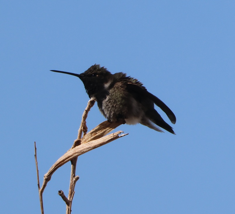
That’s the primary reason that the National Wildlife Refuge System exists: to protect wildlife habitats from development, or, in the case of Valle de Oro National Wildlife Refuge, to return commercially developed properties back into their native habitats. The Tiwa culture, the original inhabitants of this area in what is now central New Mexico, continue to play a major role in how Valle de Oro National Wildlife Refuge is managed and protected. I’m happy that’s the case.